
Basic Drone Training
Learn the basics of flying safely and confidently, whether you're a hobbyist or aspiring professional.
Intermediate
Learn essential skills for monitoring, surveying and capturing aerial imagery.
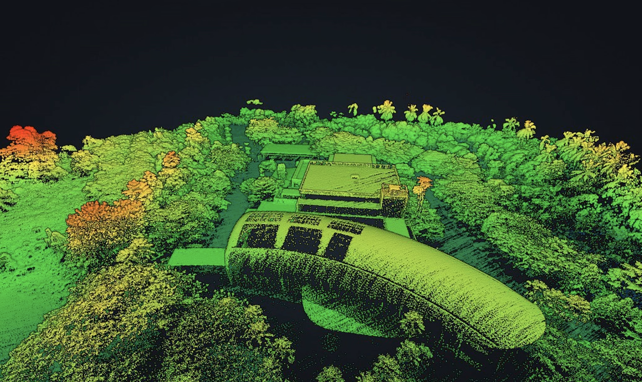
These courses teach advanced drone skills for surveillance, mapping, and data processing. Topics include data collection, mapping software, and data interpretation, making them ideal for professionals in security, land management, and GIS fields.
For security professionals, mapping enthusiasts, and data analysts interested in aerial data interpretation.
Learn the basics of flying safely and confidently, whether you're a hobbyist or aspiring professional.
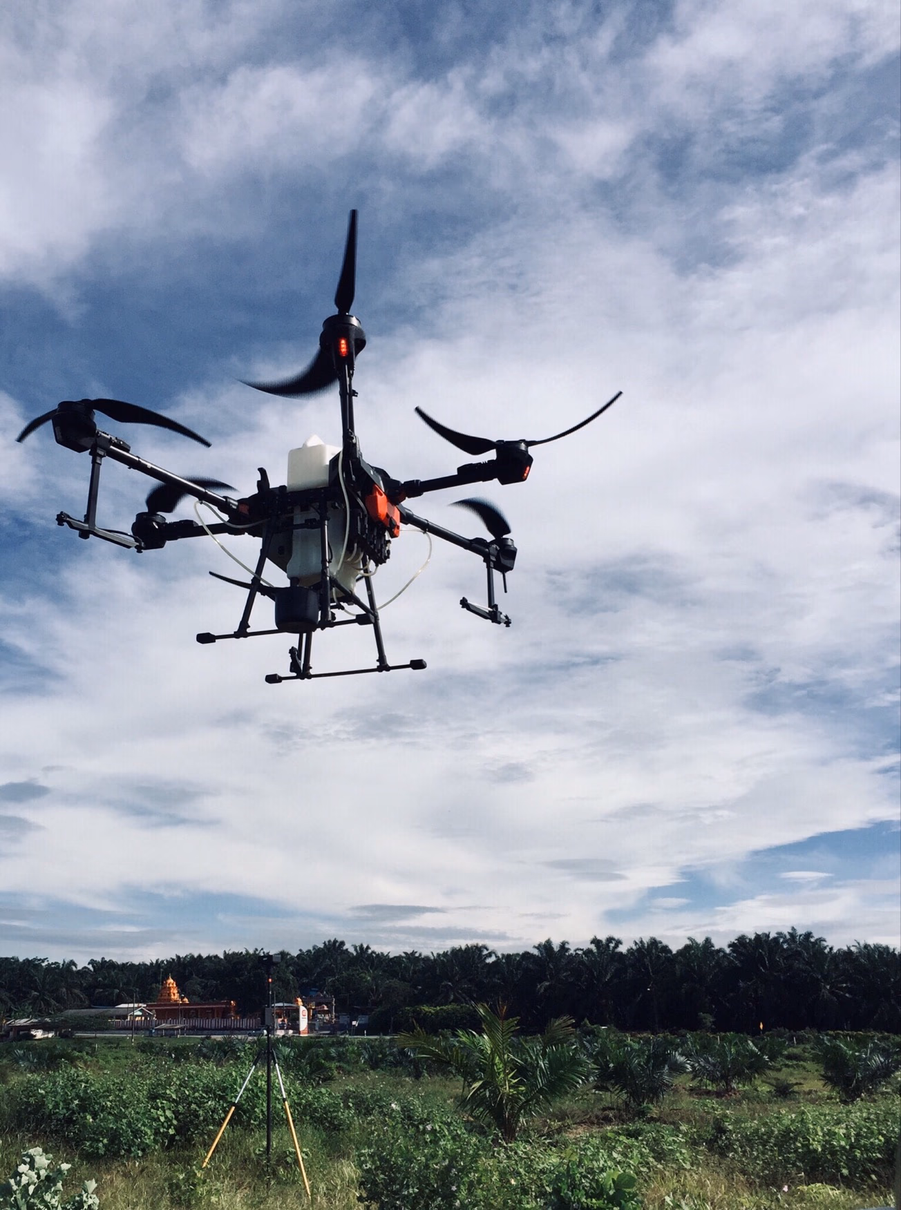
Master drone tech and data analysis for sustainable agriculture and higher crop yields with us.
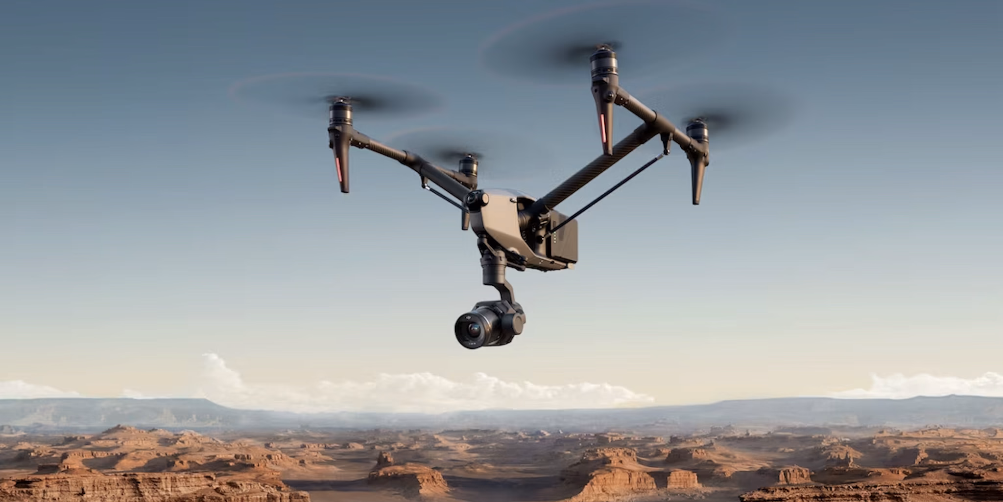
Master aerial shots and storytelling for stunning visuals.